Trails Near CU Boulder – Hiking, Biking, Running Close to Campus
Plan Your Next Hike or Ride
Hit the dirt with ease using our curated trail maps designed for CU Boulder students. Whether you’re training for a race, looking for a weekend mountain escape, or just need a stress break between classes, we’ve got you covered.
Explore routes by distance, elevation, and activity type with pro tips from locals.
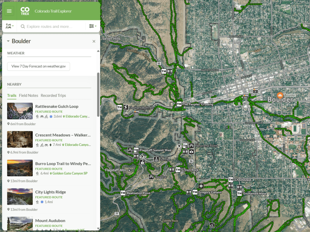
Colorado’s Most Exhaustive Mountain Trail Map
CU Boulder is located at the base of the Flatirons, situated on a dense trail network including Boulder County Parks & Open Space trails, Colorado State Parks, and City of Boulder greenway paths. Easy access trailheads mean students with and without cars can hit up these mountain trails for hiking, biking, and trail running less than 20 minutes from campus!
COTREX is the interactive trail map of Colorado Parks & Wildlife, and is updated real-time with trail closures, conditions, & more!
Explore Boulder’s Beautiful Hiking Trails
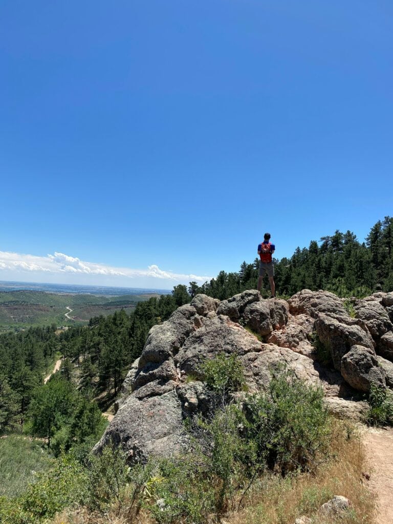
From pre-dawn runs up Green Mountain to golden hour rides at Marshall Mesa, the mountains are right there. These resources make it easy to pick your path and get moving—no car required.
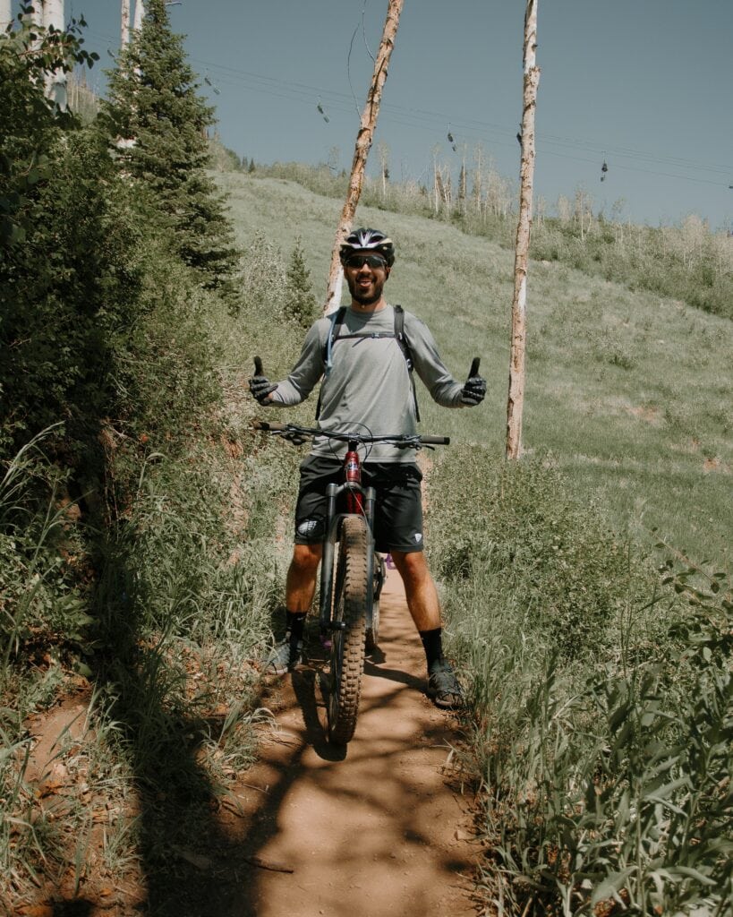
World-Class Mountain Biking Trails
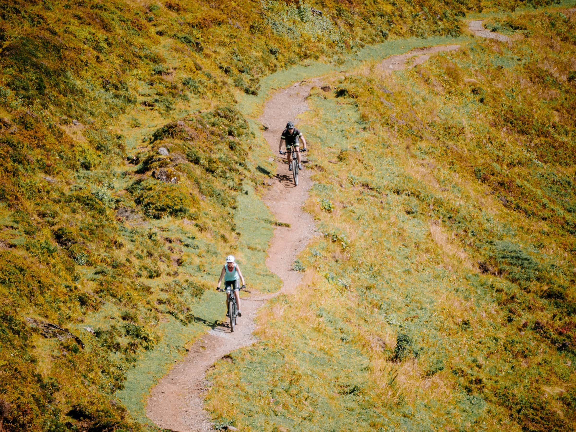
Boulder’s trail systems offer something for every rider—flowy beginner loops, burly descents, and long scenic grinds. Start your ride just minutes from campus on Marshall Mesa, Doudy Draw, or the Boulder Creek Path to Chapman Drive.
Not sure where to go?
Boulder offers quick, flexible access to Colorado’s best outdoor recreation—no need to leave town. Fit in a hike between classes or plan a big summit weekend. There are trails here for every level and every schedule!
Fresh air. Mountain views.
Minutes from campus.
Questions About Trails Near CU Boulder
Plan Your Weekend Hike or Ride
Need to recharge before exams or take a break from campus? Head out on a quick morning loop or tackle a summit with friends.
Boulder’s trails are always in season!
Best Hiking Trails Near CU Boulder
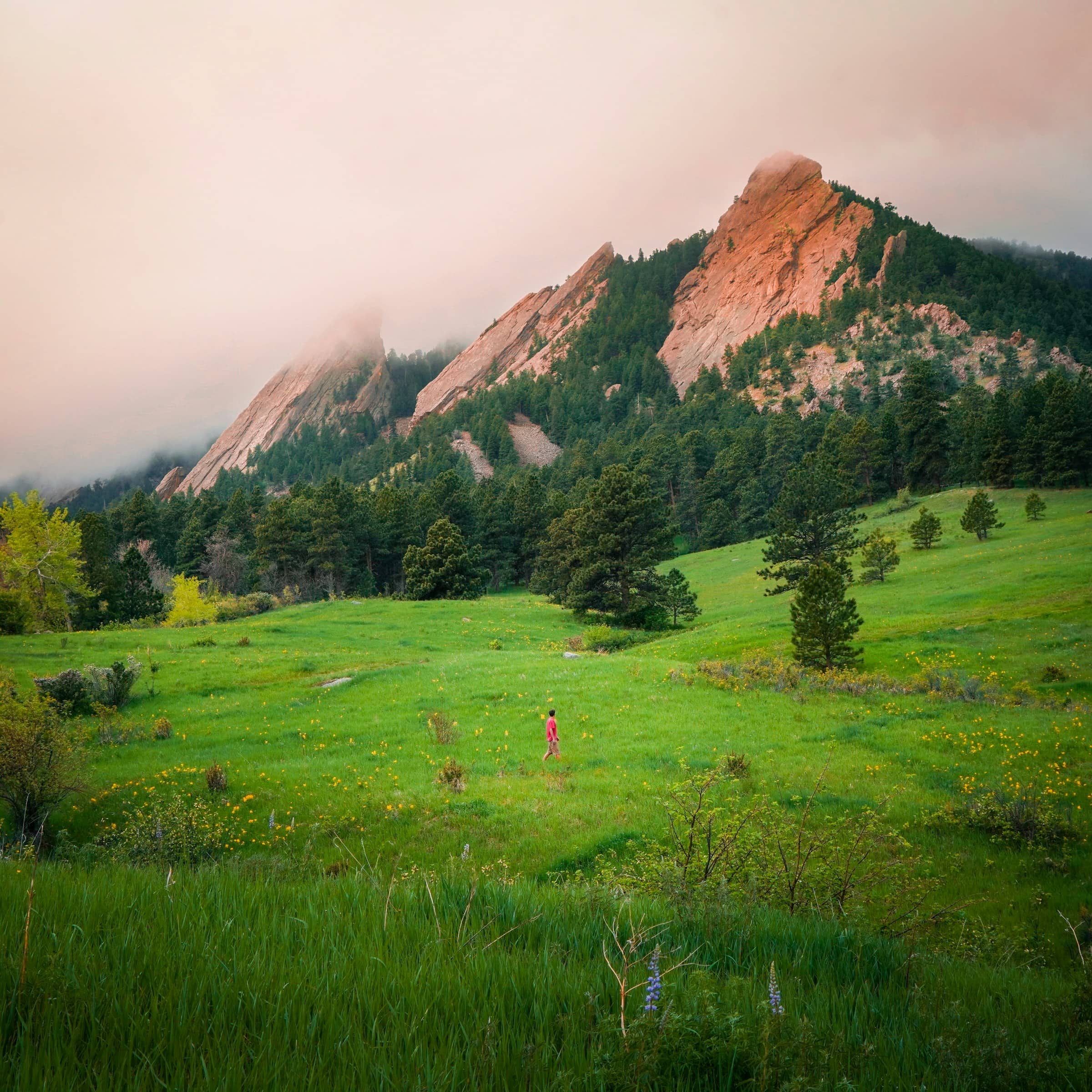
CU Boulder sits right at the edge of the Flatiron mountains, giving students and visitors access to incredible trails within minutes. Whether you’re looking for a peaceful walk, a scenic run, or a summit push, Boulder has a trail for you.
Here are some of the best hiking options close to campus:
Easy Scenic Hikes
Wonderland Lake Loop
This 1.8-mile loop is just 2.5 miles north of campus and offers a relaxed, flat trail ideal for casual walks or beginner hikes.
You’ll enjoy reflections of the Flatirons in the water and views of paragliders launching from nearby hills. Perfect for a quick nature break or a low-key morning loop.
Sawhill Ponds
Located about 4.5 miles east of campus, this flat network of trails covers roughly 2 miles. It’s a peaceful spot for wildlife watching, especially birds, and the terrain is accessible and quiet—great for decompressing after a busy week.
Moderate Hikes
Flatirons Vista Trail
Roughly 5 miles from CU Boulder, this 3.5-mile loop offers sweeping views of the iconic Flatirons.
It’s popular for both hiking and trail running, with wide-open meadows, mild elevation, and connections to other trail systems.
Chapman Drive to Tenderfoot Trail
Start 4 miles west of campus and enjoy a 2.5-mile out-and-back with shaded forest, wildflowers, and Indian Peaks views. You’ll share part of the trail with cyclists, and the scenery makes it a great choice for mid-week escapes.
Challenging Hikes
Mount Sanitas
This 3.2-mile loop is only 1.5 miles from campus and is a favorite for CU students looking for a fast, high-intensity climb. Expect steep stone staircases and rewarding views over downtown Boulder from the summit.
Bear Peak via Fern Canyon
Located 3 miles from CU at the NCAR trailhead, this 5.6-mile round-trip hike is a serious workout. You’ll pass through lush canyon forest before scrambling to one of Boulder’s most panoramic viewpoints.
South Boulder Peak via Shadow Canyon
This 8-mile out-and-back is about 6 miles from campus and climbs over 3,000 feet. The route passes through an old burn zone and ends at Boulder’s highest summit—perfect if you’re chasing a real mountain experience just outside town.
Best Mountain Biking Trails in Boulder
Whether you’re an experienced rider or just picking up mountain biking, Boulder has a great mix of trails that suit every skill level. Thanks to the Boulder Mountainbike Alliance Ride Progression Guide, it’s easy to find rides based on terrain, elevation, and technical features.
All of these trails are within a short drive or bike ride from CU Boulder—so you can hit the dirt before or after class.
Beginner-Friendly Trails
Marshall Mesa / Greenbelt Plateau
Just 5 miles south of campus, this area features a network of flowy singletrack, mild climbs, and open meadows. Most loops range from 3 to 6 miles, making it perfect for a quick session or easy afternoon ride. It’s also one of the most scenic places to watch the sun set over the Flatirons while getting in a solid ride.
Doudy Draw
Located about 6 miles from CU, Doudy Draw offers smooth gravel paths and packed dirt trails that are ideal for learning trail etiquette and bike handling.
The trail itself is around 3.5 miles, but it links into the Flatirons Vista loop, giving you plenty of room to extend your ride and explore.
Intermediate to Advanced Trails
Walker Ranch Loop
This 7.7-mile loop is about 11 miles west of campus, up Flagstaff Road. Expect a mix of technical climbs, rocky descents, and a few steep stair sections that may require dismounting. You’ll ride along creeks, through forest, and up challenging switchbacks—great for riders looking to level up.
Bear Peak West Ridge
If you’re ready for a real challenge, this ride is for you. Starting about 6 miles from campus, the Bear Peak West Ridge trail connects from the Mesa Trail and delivers steep, rocky climbs followed by thrilling descents. The full out-and-back ride is around 5 miles, but the technical sections and elevation gain will keep even experienced riders on their toes.
Best City Bike Paths
Boulder’s urban bike path system is one of the best in the country, making it easy to get around town without a car. Paved, well-maintained, and bike-friendly, these routes connect CU Boulder to trails, parks, and neighborhoods in every direction.
Boulder Creek Path
This flat, scenic path runs through the heart of Boulder and follows the creek into Boulder Canyon. It’s perfect for casual rides, commuting, or linking up with nearby hiking and mountain biking trails like Chapman Drive.
City Loop Connectors
CU is surrounded by multi-use paths like Foothills Parkway, South Boulder Rec Path, and Wonderland Lake Trail. These paved routes help you ride safely across town, hit the trailheads, or cruise to class without traffic stress.
Best Trail Running Routes
Boulder is a global running hub, home to Olympians and running clubs, thanks to its perfect trail running terrain. Whether you’re building endurance or just want a quick pre-class loop, there’s something here for every pace and distance.
Mount Sanitas Loop
This 3.2-mile loop is only 1.5 miles from campus and features rocky switchbacks and about 1,300 feet of elevation gain. It’s a favorite for runners looking to build strength and speed on technical terrain.
Flatirons Vista & Doudy Draw
Located just 6 miles from CU, this network offers rolling hills, wide trails, and plenty of space for long training days. You’ll love taking in the views of the Flatirons and wide-open meadows as you run.
Davidson Mesa
Just east of Boulder, flat dirt roads and clear views make this spot ideal for tempo runs or easy recovery miles.
FAQ
Are trails near CU Boulder accessible by foot or bike from campus?
Yes—many trailheads are within a 10–20 minute walk or bike ride. Popular options like Chautauqua, Mount Sanitas, and Boulder Creek Path are right near campus.
Which trail has the best views of the Flatirons?
You’ll get amazing Flatirons views from Bear Peak, Green Mountain, and Flatirons Vista.
Are dogs allowed on these trails?
Yes, but leash laws vary. Trails within city limits usually require leashes or Voice & Sight tags. Always check signs at trailheads. County open space trails also typically require leashes.
What’s the best time of year to hike in Boulder?
Spring and fall are best for cool temps and clear skies. In summer, start early to avoid the afternoon heat and storms.
Do I need permits or passes?
Some areas, like Eldorado Canyon and South Boulder trailheads, require parking fees or timed reservations.


